Analisi esperta di Sketch for a World map Part 1 (Americas, Pacific) di Oyvind Fahlstrom
Stile: Cartographic Art, Conceptual Art · Genere: sketch and study
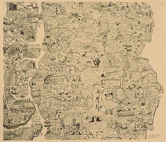
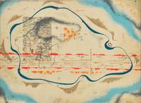
The artwork Sketch for a World Map Part 1 (Americas, Pacific) by Öyvind Fahlström is a significant example of how cartographic and conceptual art intersect to critique geopolitical structures. Created as a sketch and study, this piece belongs to Fahlström’s larger body of work that reimagines maps not as neutral geographical tools but as subjective, ideological constructs.
Within the Cartographic Art tradition, Fahlström subverts the authority of conventional mapping by distorting, fragmenting, or overlaying political and cultural references. Here, the focus on the Americas and the Pacific region likely highlights Cold War tensions, American imperialism, or environmental and economic networks—themes recurrent in his practice. As Conceptual Art, the sketch emphasizes process and idea over finished product; its raw, provisional quality invites viewers to consider the artist’s deliberate choices, such as which territories to emphasize or omit. This aligns with Fahlström’s signature use of variable, modular elements (often seen in his "variable paintings") that challenge fixed meaning.
The work’s significance lies in its fusion of two modes: the cartographic as a system of power and the conceptual as a strategy of critique. By presenting a sketch and study, Fahlström foregrounds the act of mapping as a dynamic, unfinished negotiation—a hallmark of his contribution to postwar avant-gardes. This piece thus stands as a precursor to later critical cartography and remains a key artifact in understanding how artists use maps to deconstruct narratives of territory, identity, and global order.
Visivamente simili
20 opere con composizione e palette affini
Map
John Hinton
Comitatus Hanau ... Solms, Budingen et Nidda cum reliqua Wetteravia
Johann Christoph Homann
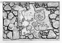
The Roman antiquities, t. 1, Plate II. Map of ancient Rome and Forma Urbis.
Giovanni Battista Piranesi
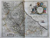
Abruzzo, Citra Et Ultra
Joan Blaeu
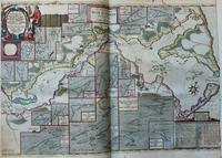
Accuratissima Sliae Fluminis Descriptio ... Iohannes Mejer
Joan Blaeu
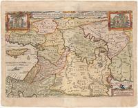
Die Gelegenheit Des Paradeis Und Des Lands Canaan Mit Sampt Den Erst Bewohnten Landeren Der Partriarchen Auss Der H. Schrifft Und Anderen Auctoren Zusamen Getragen
Nicolaes Visscher
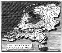
XIIme Congrés Postal Universel: illustration
M.C. Escher
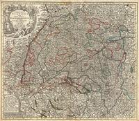
Map of Swabia and Wirtenberg, Germany
Matthaeus Seutter
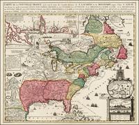
Carte De La Nouvelle France
Nicolas de Fer
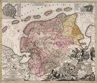
Frisae Orientalis
Johann Christoph Homann
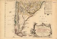
Partie la plus meridionale de l'Amerique
Nicolas de Fer
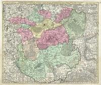
Map of Luxembourg and Eastern Belgium
Matthaeus Seutter
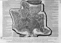
Map of Rome and the Campus Martius with the relevant Index and dedication to Clement XIII in three sheets, and title listed
Giovanni Battista Piranesi
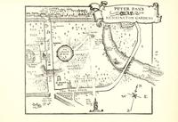
Map of Peter Pan's Kensington Gardens
Arthur Rackham
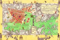
Boys’ Art #2: Nagasaki
Joyce Kozloff
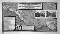
Topography of the factories discovered in the city of Pompeii, with a dedication to St. M King Gustavus Adolphus of Sweden
Giovanni Battista Piranesi
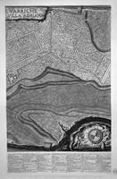
Plan of the existing factories in the Villa Adriana, with a dedication to St. M Stanislaus Augustus, King of Poland
Giovanni Battista Piranesi
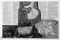
Map of Rome and the Campus Martius with the relevant Index and dedication to Clement XIII in three sheets, and title listed
Giovanni Battista Piranesi
Cosmic Map
Bruno Munari
Sketch for Kidnapping Kissinger
Oyvind Fahlstrom